Ka'a Popé is a REDD+ forest conservation project developed in the Apyterewa Indigenous Land, territory of the Parakanã people in the Xingu River basin, in São Félix do Xingu (PA).
The project covers approximately 670,000 hectares of Amazon rainforest, approximately 87% of the TI area, and aims to prevent greenhouse gas emissions associated with unplanned deforestation, strengthening the protection and territorial management conducted by the Parakanã themselves.
The actions combine indigenous presence in the territory, field surveillance, satellite monitoring and fire alerts, socio-biodiversity economy and institutional strengthening, based on the free, prior and informed consent of the Parakanã people.
Status
Listed in Verra's pipeline as "in development". Validation and verification by an accredited VVB is in preparation.
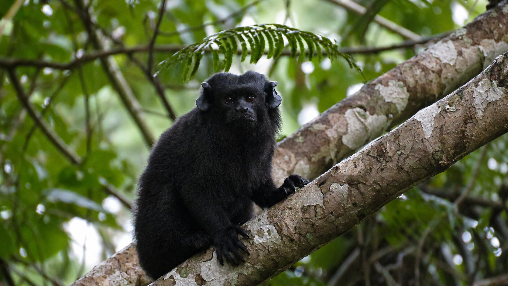
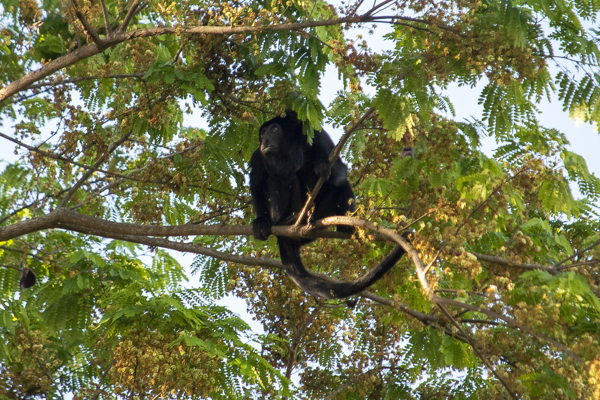
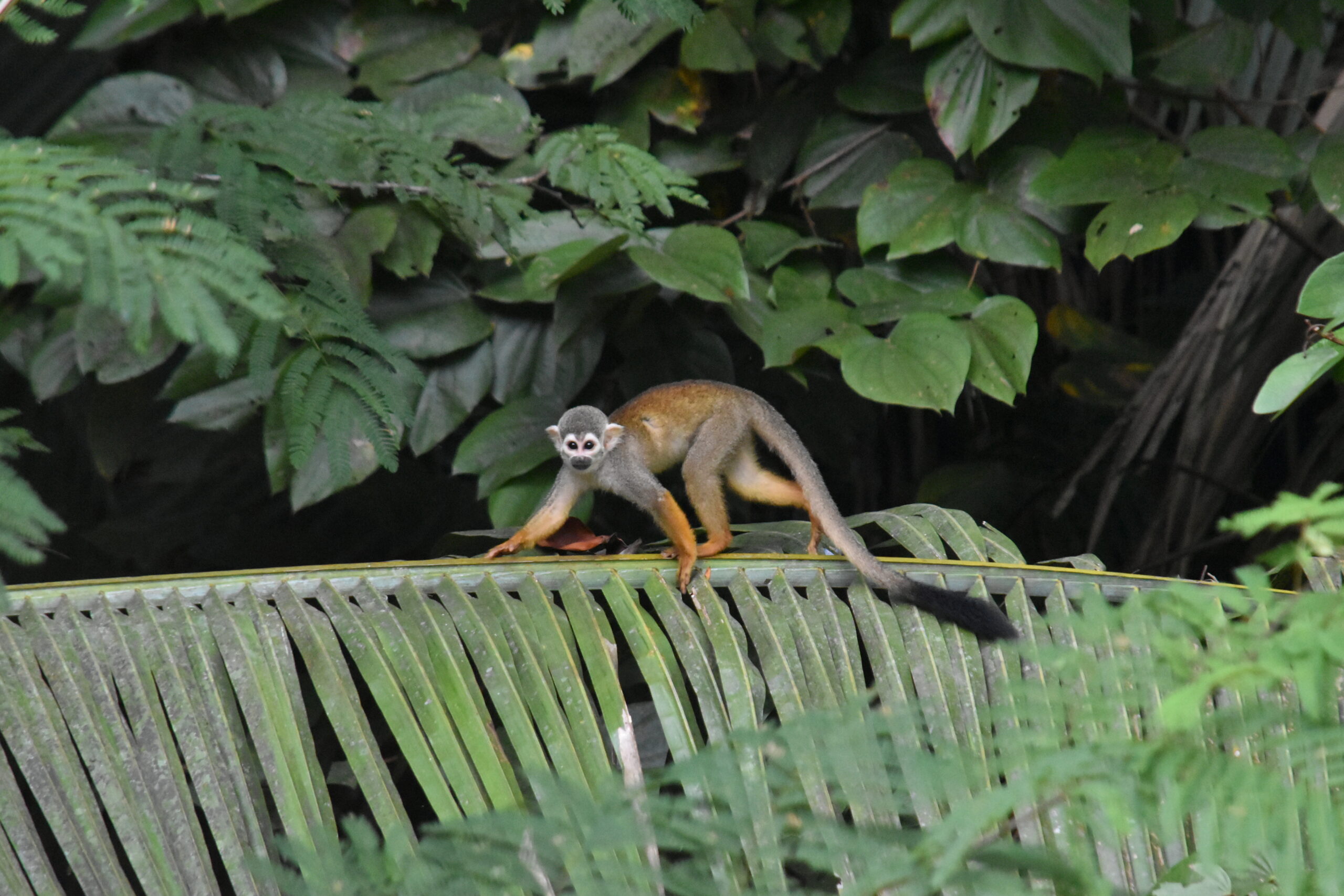
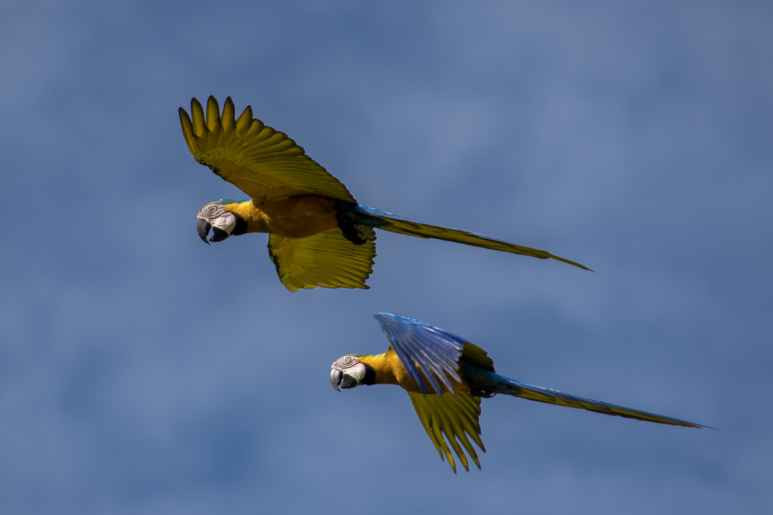
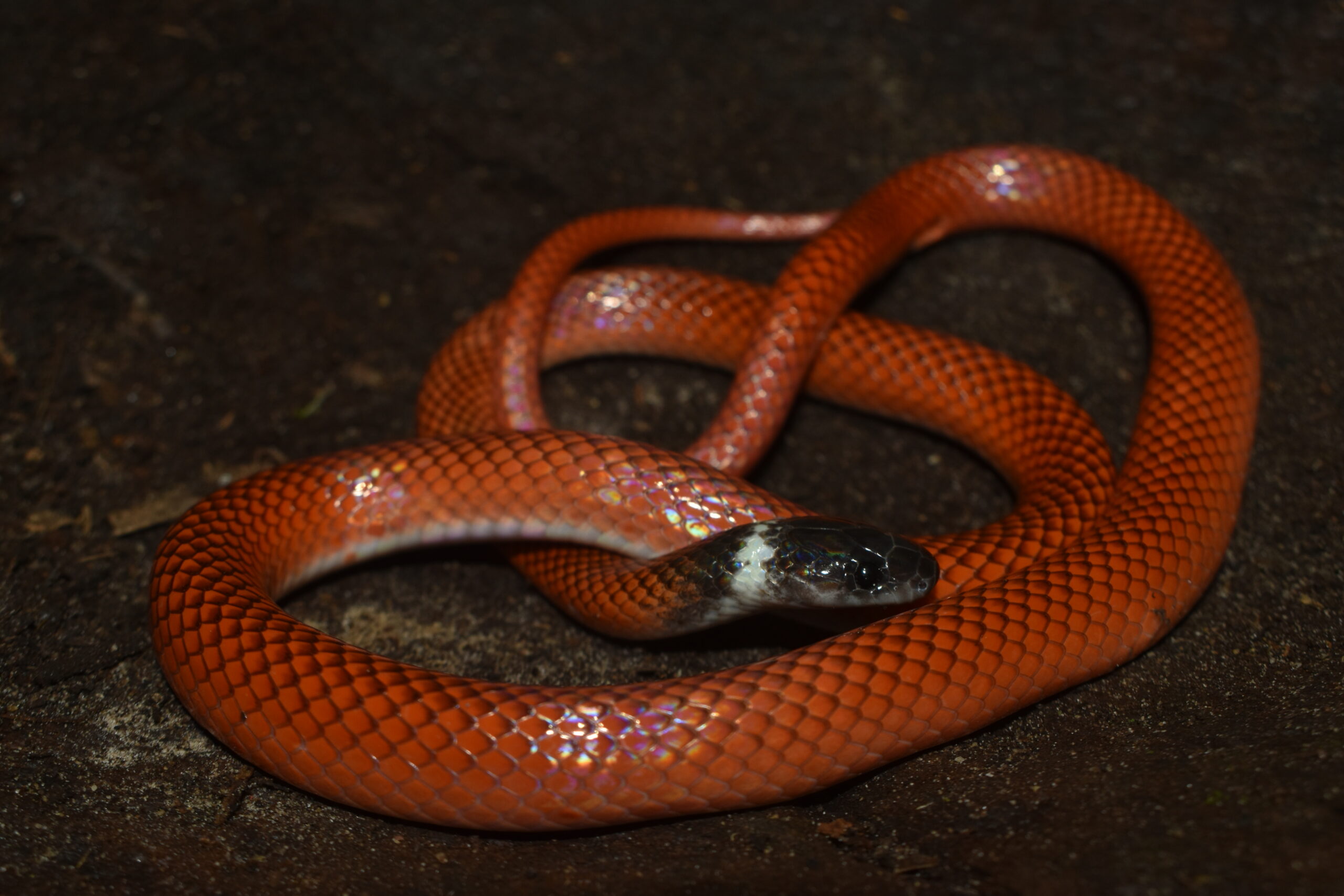
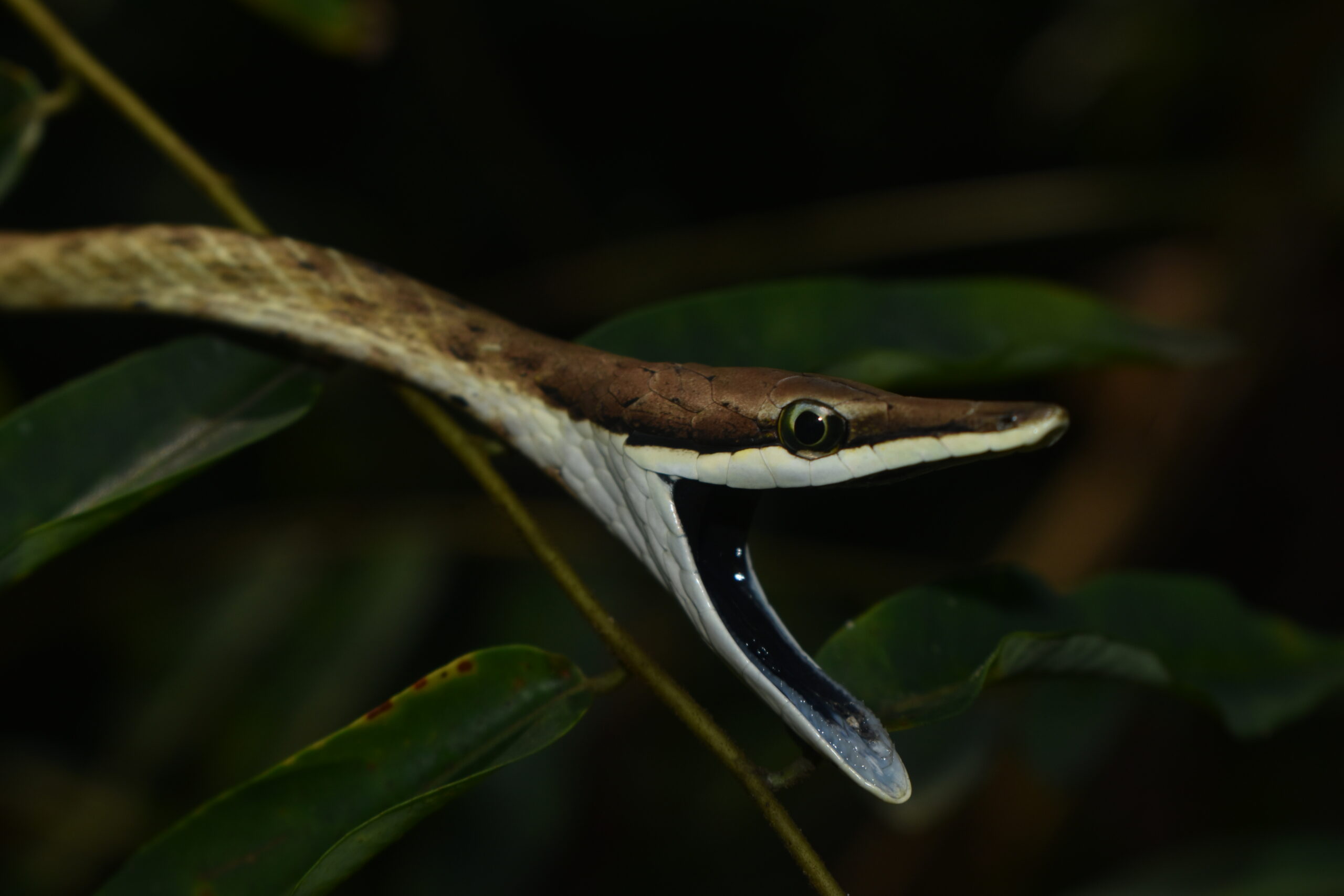
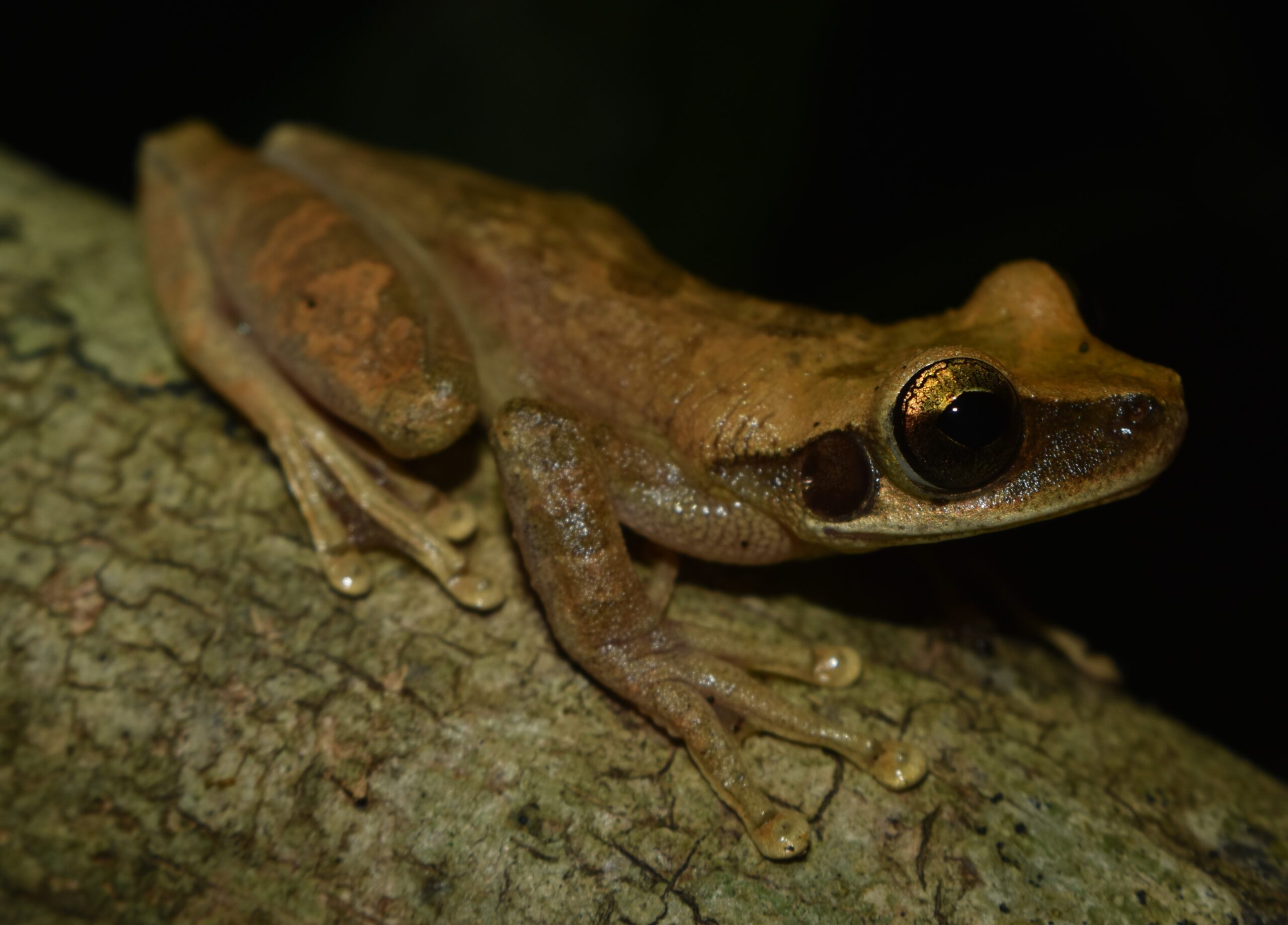
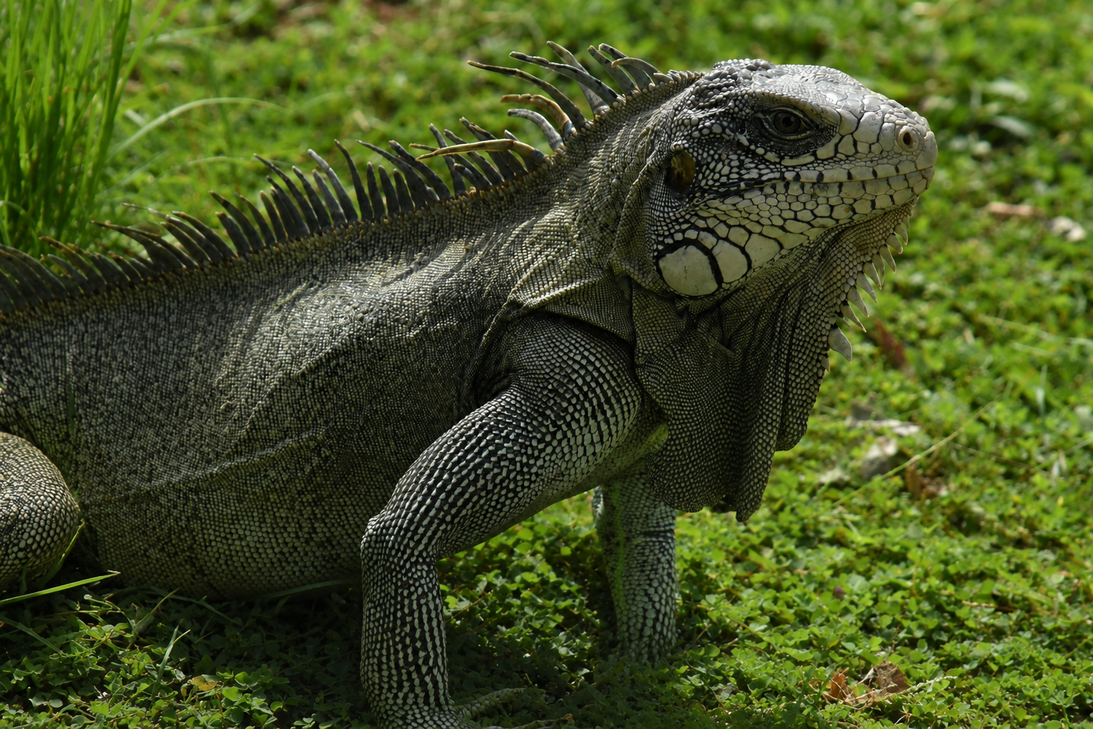
SPECIES WITH MONITORING POTENTIAL
Giant otter (Pteronura brasiliensis)
Jaguar (Panthera onca)
Cuxiú monkey (Chitopotes)
Peccary (Tayassu pecari)
Chestnut tree (Bertholletia excelsa)
Project areaProject area
670 thousand hectares670,000 ha
approximately, of eligible forest in the Apyterewa Indigenous Territoryapproximately, of eligible forests in Apyterewa
Credit periodCrediting period
40 years40 years
2025 – 2065
Estimated net reductions*Estimated net reductions*
3.38 mt3.38 Mt
tCO₂e in 2025–2029 (~676 thousand/year)tCO₂e in 2025–2029 (~676k/year)
* Estimated net emission reductions ex ante in the Project Design Document (PD) for the first baseline validity period (2025–2029). The value will be updated after the publication of Verra's deforestation risk map and is subject to independent validation.
Context
Apyterewa is among the indigenous lands under the greatest pressure from deforestation in the Brazilian Amazon. Since the end of the 1980s, illegal occupation, land grabbing, cattle ranching, and mining have converted more than 83,000 hectares, approximately 11% of the territory.
In 2023, following a decision by the Supreme Federal Court, the removal operation conducted by the Federal Government and FUNAI removed the illegal occupants and restored indigenous control over the land.
The challenge now is to prevent reoccupation and keep the forest standing in the long term. This requires permanent vigilance, monitoring, and territorial presence, the continuity of which depends on stable funding. This is the gap that the project fills.
8.58 km²/year
highest annual rate of deforestation among 232 Indigenous Territories in the Amazon (2013–2021)
324 km²
forest lost between 2019 and 2022 — the most deforested protected area in the Amazon during that period.
~895 people
Parakanã live in the territory (SESAI, 2025)
Sources: Silva-Junior et al. (2023); Imazon (2023); SESAI (2025), as per PD.
HOW THE PROJECT WORKSWhat does the project do?
Control, surveillance and patrollingControl, surveillance and patrolling
Trained Parakanã monitors conduct systematic patrols in the most pressured areas, with observation posts, perimeter marking, and georeferenced records. Unarmed and non-confrontational protocol.
Trained Parakanã monitors patrol the most pressured boundaries, with observation posts, boundary signage and georeferenced records. Unarmed, non-confrontation protocol.
Satellite monitoringSatellite monitoring
MapBiomas Alerts (DETER, PRODES, SAD and others) in the project area and in a ~10 km radius belt around it, with field verification and leak control.
MapBiomas Alert data (DETER, PRODES, SAD and others) over the project area and a ~10 km surrounding belt, with field verification and leakage control.
Fire prevention and managementFire prevention and management
Firebreaks in vulnerable areas, indigenous firefighters, and the Systemica FireAlert system, which cross-references hotspots with wind, humidity, and terrain to prioritize the response.
Firebreaks in vulnerable areas, Indigenous fire brigades and Systemica FireAlert, which combines hotspots with wind, humidity and terrain data to prioritize response.
Economics of sociobiodiversitySocio-biodiversity economy
Brazil nuts, cocoa (including the reconversion of cocoa plantations left by invaders), native fruits, agroforestry systems, and handicrafts, according to community priorities.
Brazil nuts, cocoa (including groves left by illegal occupants), native fruits, agroforestry and handicrafts, according to community priorities.
TrainingCapacity building
Training in monitoring, fire prevention, sustainable use of resources and governance, adapted to the Parakanã culture and language.
Training in monitoring, fire prevention, sustainable resource use and governance, adapted to Parakanã culture and language.
Ka'a Popé's Theory of Change organizes actions into four complementary axes, aligned with the Parakanã Territorial and Environmental Management Plan (PGTA). Click on each axis to see what it includes.The Ka'a Popé Theory of Change organizes activities into four complementary pillars, aligned with the Parakanã Territorial and Environmental Management Plan (PGTA). Click each pillar to see what it includes.
1. Community development and well-being1. Community development and well-being+
Support for families to remain in the territory and in areas undergoing indigenous reoccupation, with basic community infrastructure — such as the community center in the Central Village — which also supports monitoring and surveillance efforts.
Supporting families remaining in the territory and in areas undergoing Indigenous reoccupation, with basic community infrastructure — such as the Aldeia Central community center — that also supports monitoring and surveillance.
2. Territorial protection, monitoring and management2. Territorial protection, monitoring and management+
Surveillance and patrolling by Parakanã monitors, satellite monitoring (MapBiomas Alerta) and monitoring of hotspots (Systemica FireAlert), support for the removal of remaining livestock, firebreaks and fire brigades.
Surveillance and patrolling by Parakanã monitors, satellite (MapBiomas Alert) and hotspot (Systemica FireAlert) monitoring, support for the removal of remaining cattle, firebreaks and fire brigades.
3. Sustainable livelihoods, local economy and culture3. Sustainable livelihoods, local economy and culture+
Strengthening socio-biodiversity supply chains — Brazil nuts, cocoa, native fruits, agroforestry systems and handicrafts — and promoting the culture and traditional knowledge of the Parakanã people.
Strengthening socio-biodiversity value chains — Brazil nuts, cocoa, native fruits, agroforestry and handicrafts — and promoting Parakanã culture and traditional knowledge.
4. Governance, management and institutional strengthening4. Governance, management and institutional strengthening+
Strengthening the Tato'a Indigenous Association and community decision-making bodies, implementing socio-environmental safeguards, and establishing a complaints mechanism accessible to all.
Strengthening the Tato'a Indigenous Association and community decision-making bodies, implementing social and environmental safeguards, and a grievance mechanism open to all.
The logic is straightforward: Indigenous presence in the territory, early detection of threats, and economic alternatives compatible with the forest reduce the risk of reoccupation and forest conversion, and with it, the projected baseline emissions. The results are tracked by the indicators of the monitoring plan and verified by an accredited independent body.
The logic is simple: Indigenous presence on the ground, early threat detection and forest-compatible livelihoods reduce the risk of reoccupation and forest conversion, and therefore the emissions projected in the baseline. Results are tracked through the indicators of the monitoring plan and verified by an accredited independent body.
Ownership, governance and safeguardsOwnership, governance and safeguards
Ownership of creditsCarbon rights
The rights to emission reductions belong exclusively to the Parakanã-Apyterewa people, represented by the Tato'a Indigenous Association (AIT), based on Article 231 of the Federal Constitution and Law No. 15.042/2024 (SBCE). The Indigenous Territory was demarcated and officially recognized by presidential decree (2007), without overlapping titles, concessions, or rights of third parties.
Rights to the emission reductions belong exclusively to the Parakanã-Apyterewa people, represented by the Tato'a Indigenous Association (AIT), under Article 231 of the Federal Constitution and Law No. 15,042/2024 (SBCE). The Indigenous Land is demarcated and ratified by presidential decree (2007), with no overlapping titles, concessions or third-party rights.
Free, prior and informed consentFree, prior and informed consent
The decision to implement the project was made collectively by the Parakanã people through a FPIC process, in accordance with ILO Convention 169 and CONAREDD+ Resolution No. 19/2025.
The decision to implement the project was taken collectively by the Parakanã through an FPIC process, in line with ILO Convention 169 and CONAREDD+ Resolution No. 19/2025.
Integrity and double countingIntegrity and double counting
The project is not registered in any other GHG program and is not part of the Pará Jurisdictional REDD+ Program (ART TREES); Law No. 15.042/2024 (art. 43, §13) ensures the exclusion of the area from jurisdictional accounting. The baseline uses deforestation data allocated by Verra from the Pará jurisdictional risk map, and VM0048 is approved by ICVCM under the Core Carbon Principles.
The project is not registered under any other GHG program and is not part of the Pará Jurisdictional REDD+ Program (ART TREES); Law No. 15,042/2024 (Art. 43, §13) guarantees the exclusion of the project area from jurisdictional accounting. The baseline uses deforestation data allocated by Verra from the Pará jurisdictional risk map, and VM0048 is approved by the ICVCM under the Core Carbon Principles.
The project's socio-environmental management follows the International Finance Corporation Performance Standards (IFC PS1–PS8). An Environmental and Social Management System (ESMS), as per PS1, is being implemented and integrates risk assessment, action plans, stakeholder engagement, indigenous peoples' rights (PS7), and a grievance mechanism open to anyone.
The project's environmental and social management follows the International Finance Corporation Performance Standards (IFC PS1–PS8). An Environmental and Social Management System (ESMS) under PS1 is being implemented, covering risk assessment, action plans, stakeholder engagement, Indigenous Peoples' rights (PS7) and a grievance mechanism open to anyone.
Owner and proposerRight-holder and proponentTato'a Indigenous Association (AIT)Tato'a Indigenous Association (AIT)It represents the Parakanã-Apyterewa people; it holds the rights over the reductions and strategic decisions.Represents the Parakanã-Apyterewa people; holds the rights to the reductions and strategic decisions.
Proponent (SPE)Proponent (SPV)Arapuá Florestas SA.A vehicle for implementation and commercialization, without ownership of land, forest, or credits.Implementation and commercialization vehicle, with no rights over land, forest or credits.
Technical developerTechnical developerSystemicaProject design, methodological application, MRV, and audit support.Project design, methodology application, MRV and audit support.
FAQ
What stage is the project at?What stage is the project at?
The project is listed in Verra's pipeline as "in development" (VCS ID 6147). The Project Design Document is being prepared for validation by an accredited Validation and Verification Body (VVB). Credits (VCUs) are only issued after validation and verification.
The project is listed on the Verra pipeline as "under development" (VCS ID 6147). The Project Description is being prepared for validation by an accredited validation/verification body (VVB). Credits (VCUs) are only issued after validation and verification.
Who owns the carbon credits?Who owns the carbon credits?
The Parakanã-Apyterewa people, through the Tato'a Indigenous Association. Arapuá Florestas SA is the implementation and commercialization vehicle, and Systemica provides technical services; neither holds rights to the land or to the emission reductions.
The Parakanã-Apyterewa people, through the Tato'a Indigenous Association. Arapuá Florestas SA is the implementation and commercialization vehicle and Systemica provides technical services; neither holds rights over the land or the emission reductions.
How is the baseline defined?How is the baseline set?
Using the VM0048 methodology with the VMD0055 module: Verra allocates deforestation data to the project from the jurisdictional risk map of Pará (VT0007 tool), instead of a projection built by the developer. The baseline is periodically reassessed according to VCS rules.
Through the VM0048 methodology with module VMD0055: Verra allocates deforestation activity data to the project from the Pará jurisdictional risk map (tool VT0007), rather than a projection built by the developer. The baseline is reassessed periodically under VCS rules.
How are the risks of leaks and non-permanence addressed?How are leakage and non-permanence risks addressed?
The spill is monitored by satellite in a belt of approximately 10 km around the Indigenous Territory. The risk of non-permanence is assessed by the AFOLU Non-Permanence Risk Tool, and a portion of the credits is deposited into Verra's buffer pool.
Leakage is monitored by satellite over a ~10 km belt around the Indigenous Land. Non-permanence risk is assessed with the AFOLU Non-Permanence Risk Tool, and a share of credits is deposited in the Verra buffer pool.
How can I submit a complaint, comment, or report?How can I submit a complaint, comment or report?
Report complaints, comments, and denunciations, with or without identification.
CLICK AND ACCESS
Technical Documents
Project page in the Verra Registry – VCS ID 6147. Summaries of the Project Development Plan and Monitoring Report will be published here when available.